Color the polygons of a map such that adjacent polygons have different colors. This function returns the color indices
Arguments
- x
Either a shape (i.e. a
sforSpatialPolygons(DataFrame)(sppackage) object), or an adjacency list.- algorithm
currently, only "greedy" is implemented.
- ncols
number of colors. By default 8.
- minimize
logical that determines whether
algorithmwill search for a minimal number of colors. IfFALSE, thencolscolors will be picked by a random procedure.- ...
to catch deprecated arguments
paletteandcontrast. See details.
Details
As of tmaptools 3.3, the deprecated color functions get_brewer_pal and palette_explorer, have been removed. These have been replaced c4a and c4a_gui respectively from the package cols4all. Therefore, map_coloring will return color indices and will ignore the input arguments palette and contrast. See example.
Examples
if (require(tmap) && require(cols4all)) {
data(World)
## using cols4all directly
indices <- map_coloring(World)
pal <- c4a("brewer.set2", n = max(indices))
World$color = pal[indices]
tm_shape(World) +
tm_polygons("color", fill.scale = tm_scale_asis()) +
tm_crs("auto")
# using map_coloring via "MAP_COLORS" in tmap
tm_shape(World) +
tm_polygons("MAP_COLORS", tm_scale(values = "brewer.set2")) +
tm_crs("auto")
# other example
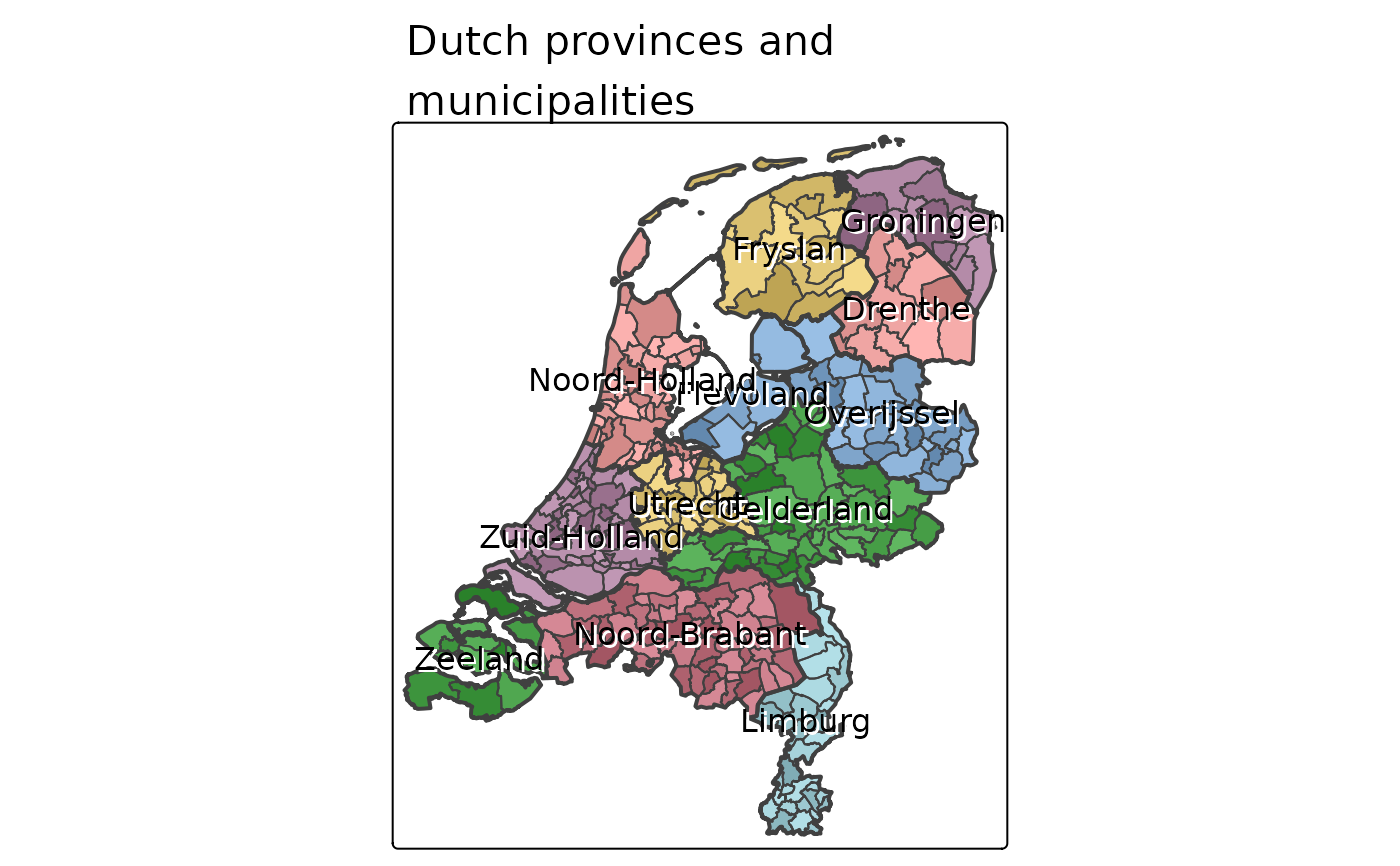
data(NLD_prov, NLD_muni)
tm_shape(NLD_prov) +
tm_fill("name",
fill.legend = tm_legend_hide()) +
tm_shape(NLD_muni) +
tm_polygons("MAP_COLORS",
fill_alpha = .25,
fill.scale = tm_scale(values = "brewer.greys")) +
tm_shape(NLD_prov) +
tm_borders(lwd=2) +
tm_text("name", options = opt_tm_text(shadow = TRUE)) +
tm_title("Dutch provinces and\nmunicipalities", bg.color="white")
}
#> Loading required package: cols4all