Specify a shape, which is a spatial object from one of these spatial object
class packages: sf, stars, or terra.
Usage
tm_shape(
  shp = NULL,
  bbox = NULL,
  crs = NULL,
  is.main = NA,
  layer = NULL,
  name = NULL,
  unit = NULL,
  filter = NULL,
  ...
)
Arguments
- shp
Spatial data object. Typically an object from sf, terra, or stars. Additional spatial data types can be supported via extension packages, such as tmap.networks and tmap.sources (experimental). These may include, for example, remote or streaming data sources.
- bbox
Bounding box of the map. Only used when
shpis the main shape (seeis.main). Three options are supported:a
sf::st_bbox()object,a character string specifying a location, passed to
tmaptools::geocode_OSM(),"FULL", which represents the whole earth. This option ensures that reprojection retains the full global extent, unlike a regular bounding box.
- crs
Map projection (CRS). Can be set to an
crsobject (seesf::st_crs()), a proj4string, an EPSG number, the value"auto"(automatic crs recommendation), or one the the following generic projections:c("laea", "aeqd", "utm", "pconic", "eqdc", "stere"). See details.- is.main
Is
shpthe main shape, which determines the crs and bounding box of the map? By default,TRUEif it is the firsttm_shapecall- layer
Name of the layer to use. This is primarily relevant for multi-layer or remote data sources (e.g. PMTiles or vector tiles), where multiple layers may be available.
- name
of the spatial object
- unit
Unit of distance measurement, used by
tm_scalebar(). Either a specific unit string such as"km","m","mi","yd","ft", or"in"(seeunits::valid_udunits()for all options), or one of two automatic options:"metric"(default) selects the most readable unit from km, m, and mm;"imperial"selects from mi, yd, ft, and in. In both cases the unit is chosen as the largest one for which the map width expressed in that unit is at least 10.- filter
Optional filter expression used to subset features. The exact syntax depends on the data source. For in-memory objects (e.g. sf), this is typically evaluated in R, whereas for remote sources it may be translated to a query and executed on the server side.
- ...
passed on to
bb(e.g.extcan be used to enlarge or shrink a bounding box)
Details
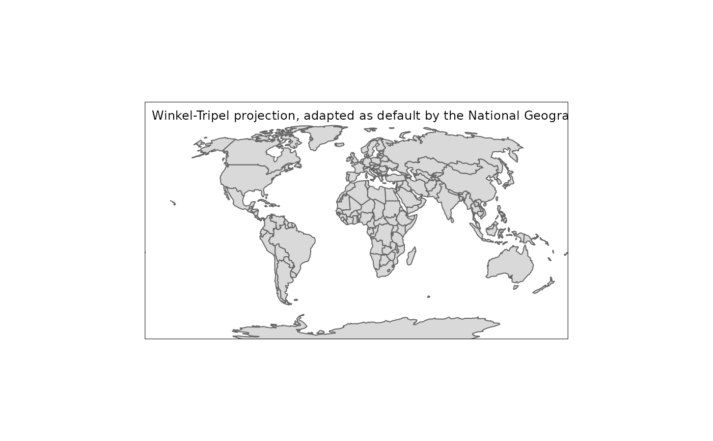
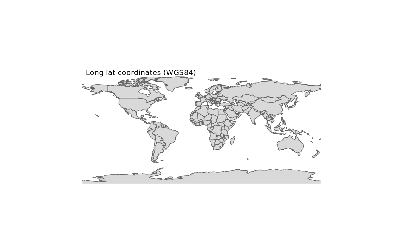
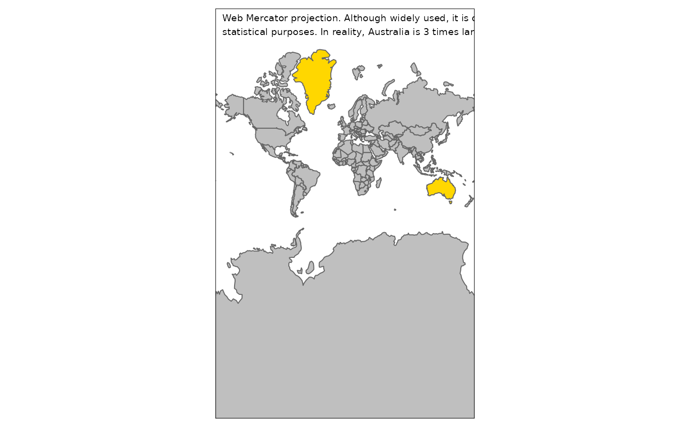
The map projection (crs) determines in which coordinate system the spatial object is processed and plotted.
See vignette: Map projections (CRS). The crs can be specified in two places: 1) tm_shape() and tm_crs().
In both cases, the map is plotted into the specified crs. The difference is that in the first option, the crs is also taken into account in spatial transformation functions, such as the calculation of centroids and cartograms. In the second option, the crs is only used in the plotting phase.
The automatic crs recommendation (which is still work-in-progress) is the following:
| Property | Recommendation |
global (for world maps) | A pseudocylindrical projection tmap option crs_global, by default "eqearth (Equal Earth). See vignette: Map projections (CRS) for more options |
area (equal area) | Lambert Azimuthal Equal Area (laea) |
distance (equidistant) | Azimuthal Equidistant (aeqd) |
shape (conformal) | Stereographic (stere) |
For further info about the available "generic" projects see: for utm: https://proj.org/en/9.4/operations/projections/utm.html for laea: https://proj.org/en/9.4/operations/projections/laea.html for aeqd: https://proj.org/en/9.4/operations/projections/aeqd.html for pconic: https://proj.org/en/9.4/operations/projections/pconic.html for eqdc: https://proj.org/en/9.4/operations/projections/eqdc.html
Note
as of tmap 4.0, simplify has been removed. Please use tmaptools::simplify_shape() instead
Examples
tm_shape(World, crs = "auto") +
tm_polygons()
 tm_shape(World, crs = 3035, bb = "Europe") +
tm_polygons()
tm_shape(World, crs = 3035, bb = "Europe") +
tm_polygons()
 tm_shape(World, crs = "+proj=robin", filter = World$continent=="Africa") +
tm_polygons()
tm_shape(World, crs = "+proj=robin", filter = World$continent=="Africa") +
tm_polygons()